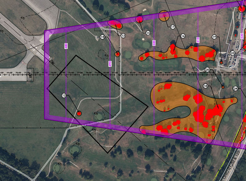
Cellphone mapping and LiDAR drones are helping airports assess aging runway pavement and stormwater drainage faster, with less disruption to flight operations.
Phones, Drones and New Ways to Survey the Airfield
read more


Cellphone mapping and LiDAR drones are helping airports assess aging runway pavement and stormwater drainage faster, with less disruption to flight operations.

Muskegon County Airport (MKG) rebuilds operations and community trust through better airline service, terminal improvements and new amenities.

At Abraham Lincoln Capital Airport (SPI) in Springfield, IL, the quiet hum of electric technologies may someday drown out the traditional roar of jet engines.